

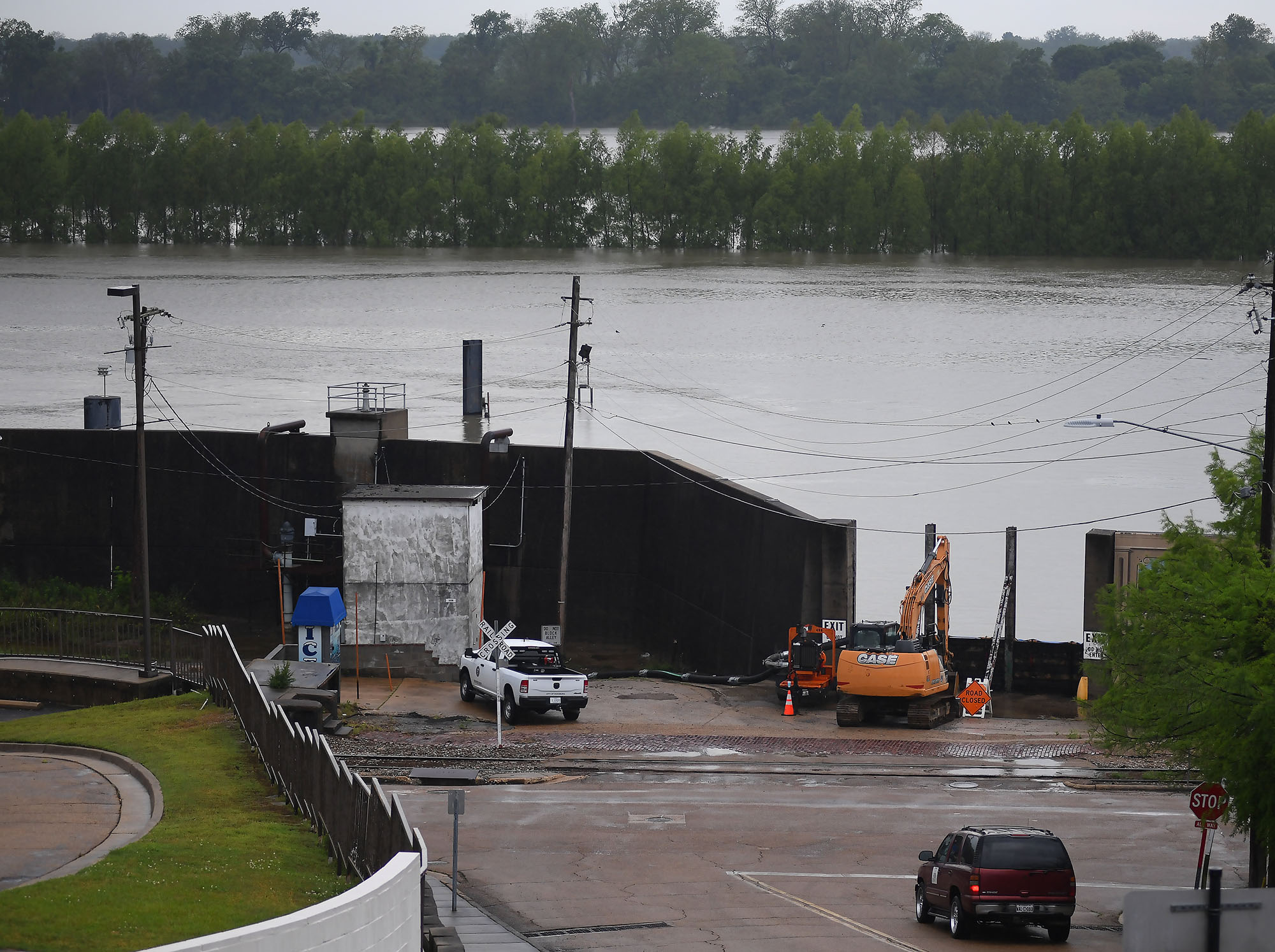
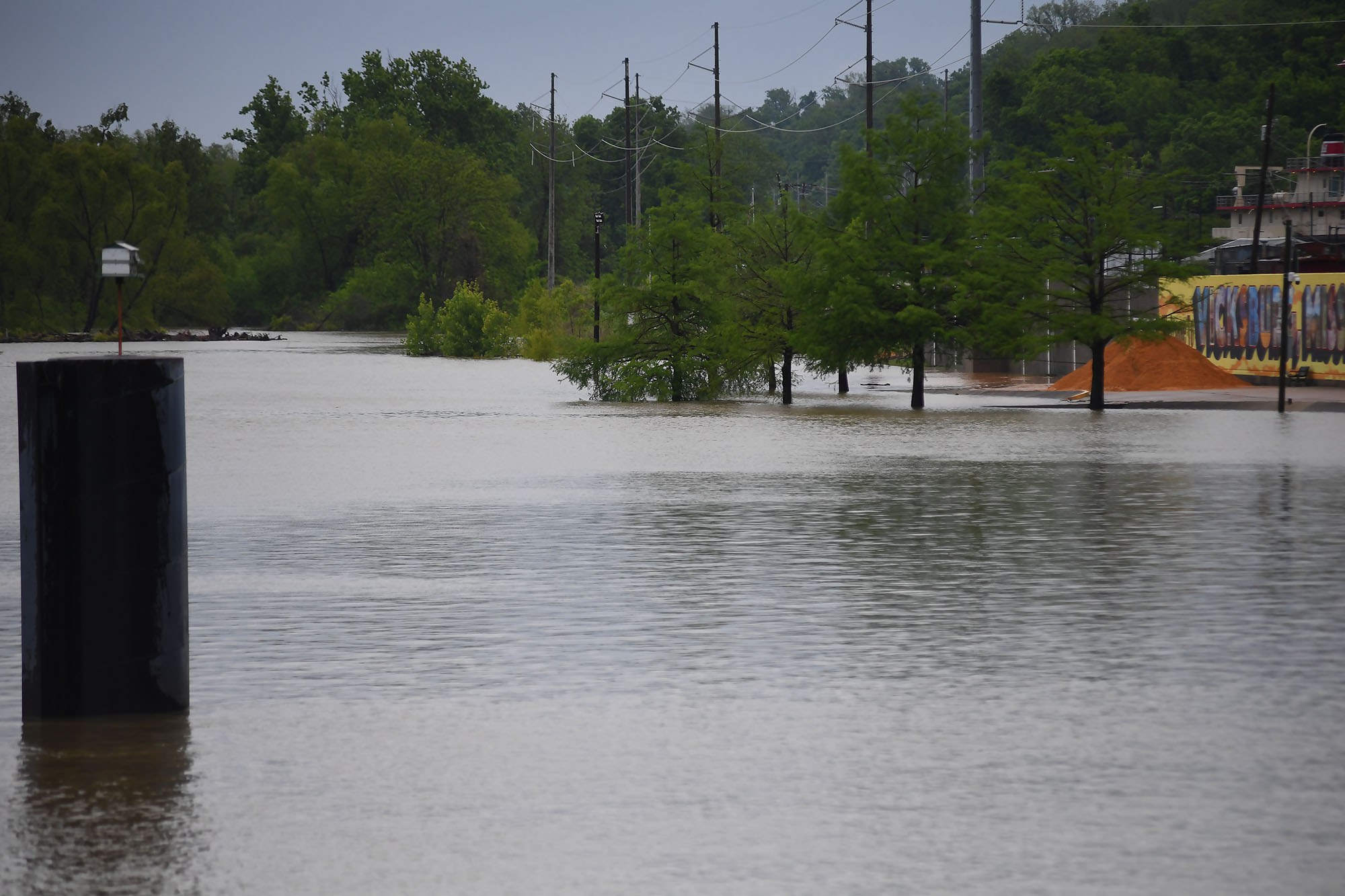
Warren County Emergency Management Director John Elfer said Friday floodwaters from the Mississippi River, which have reached homes in and around Vicksburg, will likely persist until early May. Elfer estimated there areabout 15 to 20 roads underwater in the area.
“We’re about half a foot (on the river gauge) from a major flood,” he said. “But we don’t think it’s going to be like in 2011, so we can kind of manage this.”
The National Weather projects the river to crest at 49.5 feet on Monday, making it the highest peak at the Vicksburg gauge since 2020. Elfer said some residents in north Vicksburg — including at the Ford Subdivision as well as near Chickasaw Road and Hutson Street — are having to take boats to get home, adding that those who live on the unprotected side of the levee are generally prepared for flooding.


“There are a few (inundated homes), but we’ve mitigated a lot of them,” he said. “Some of the structures have been torn down or raised. There are a few people that still live on the wet side of the levee, but they kind of know what to expect. So we’re not too concerned with that.”
The river first reached flood stage in the city — 43 feet — on April 14. State officials closed Highway 465, which connects the Eagle Lake community just north of Vicksburg to Highway 61, last Friday.

Elfer said the areas impacted are mostly residential and he didn’t believe any businesses have been affected, emphasizing that downtown Vicksburg is still safe for visitors. He said Warren County has worked with the U.S. Army Corps of Engineers and the Mississippi Emergency Management Agency to secure pumps and barriers.
“Everybody thus far has been very cooperative,” he said. “We continue to tell people stay out of the flood areas, don’t drive around barricades and don’t drive around road close signs. Not only is it illegal, it’s dangerous.”
NWS projects the river to stay at flood stage in Vicksburg until May 6. The river reached its record crest of 57.1 feet in 2011.


- Legislators haggle over ‘Christmas tree’ spending, immigrant wire transfers, youth court as 2026 session winds down - April 1, 2026
- Lawmakers approve 50-50 joint custody in divorce cases and send bill to the governor - April 1, 2026
- Home mitigation bill heads to governor in yearslong effort to improve disaster resilience in Mississippi - April 1, 2026